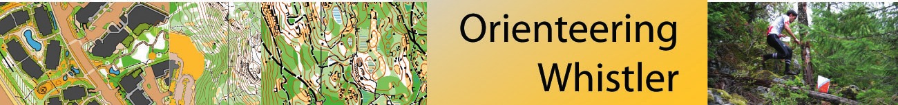
Maps
There are two types of orienteering maps[1]. They are very, very similar but as your experience evolves you will come to appreciate the need for the two standards:
- ISOM - for mapping forested terrain.
- ISSOM - for mapping urban terrain
Mapping and understanding maps
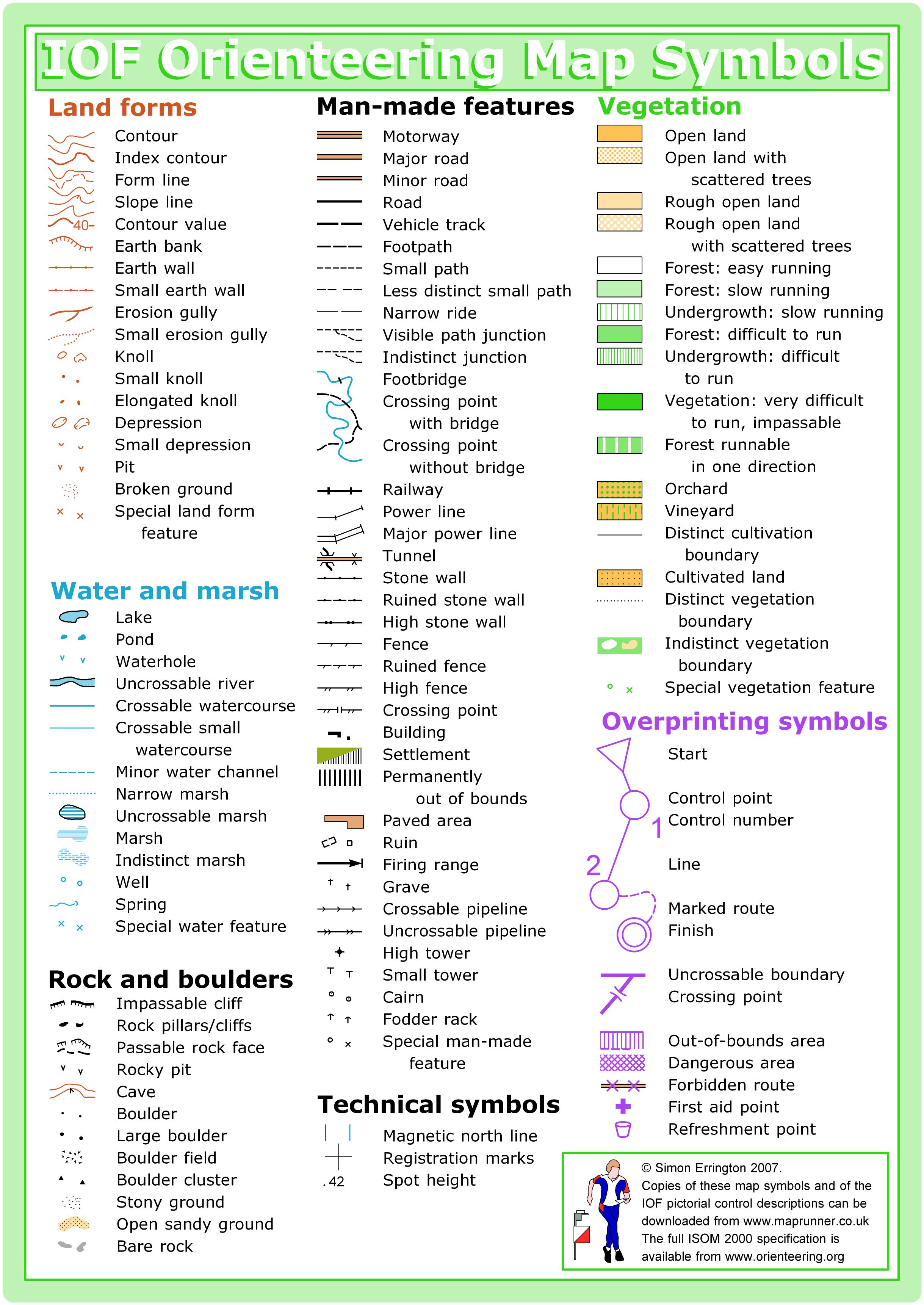
- ISOM 2000 map symbols reference sheet - the standard for forest events (from maprunner.co.uk)
- ISSOM 2007 reference sheet - map symbols for urban events
- A Danish mapper, Kell Soenniksen, has a site giving practical examples of ISSOM 2007 for sprint orienteering maps.
- László Zentai's paper describing [the development of ISSOM]{http://www.cartesia.org/geodoc/icc2005/pdf/oral/TEMA27/Session%201/LASZLO%20ZENTAI.pdf).
Control descriptions
To help you find the exact location of a control, for example "on the north side of the 2m high boulder", there is a standard set of symbols that organizers use. A slip of paper is given out at bigger events listing these "control descriptions". It is helpful to learn the most common ones when running at larger events.
Forbidden Features
One of the most important aspects of orienteering maps is that they indicate some places you are not allowed to go (either it is private, sensitive, or dangerous).
- Forbidden Features: What they are and what makes them so.
- ISOM vs. ISSOM forbidden symbol comparison chart.
RouteGadget
You can view maps and courses and competitors' routes from selected major events across Canada since 2005. This is a great way to see the fun variety of terrain across the country, and also a great way to see how Canada's top runners navigate and pick their route.
[1] There are also two other types of orienteering map - for mountain bike and for ski orienteering. Those focus primarily depicting how fast tracks are - imagine riding technical single track versus smooth double track. But that is for another day. Here we focus on understanding the most common orienteering maps, used for foot races.